Put Athens County on the map with the Libraries’ first Mapathon
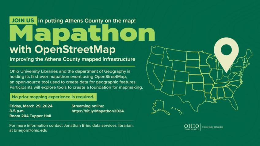
Ohio University Libraries will be hosting its first-ever map-a-thon event on Friday, March 29 from 3 p.m. to 5 p.m. in Tupper Hall room 204. Using OpenStreetSource (OSM), an open source tool to generate open data for geographic features and objects in their relation to mapmaking. Participants will be creating a foundation for mapmaking, discovering information through new skills and tools as well as pondering questions about physical space. The event will be in-person with a streaming option as well. It’s free and open to the public, and no prior mapping experience is necessary.
The event, titled “Mapathon with OpenStreetMap: Improving the Athens County Mapped Infrastructure,” is a collaboration between University Libraries and OHIO’s geography department. Jonathan Brier, data services librarian, and Gaurav Sinha, associate professor in geography, will be leading the event and focusing on, but not limited to, mapping Athens County, Ohio.
Sinha wrote in an email that he hopes that anyone who is interested in mapping finds the time to experience the map-a-thon event.
“The goal is to promote amongst our students the value of crowdsourced online mapping to create geospatial data for geographic features that remain unmapped or need to be edited to capture changes since they were last mapped,” Sinha wrote.
Brier added that he wishes that the event will spark more conversation and opportunities for those wanting to make a difference through mapping.
“I hope that this will make progress on mapping features of Ohio communities that will enable new ways research can be conducted and displayed because of the open data being readily available and linked to other related objects,” Brier wrote.
The skills, knowledge and experiences gained from the map-a-thon can be applied to working with many types of data. The event is also an opportunity to discover the various tools and workflows which make open data trustworthy.
Brier mentioned in an email that the map-a-thon will help others gain the understanding and confidence to make changes to the map for incremental improvement and to take charge in doing their part in adding Athens County to the map.
“The end goal is to build out the map and integrate external existing data, which helps put Ohio on the map as it makes open data available for researchers [and] entrepreneurs.”
For more information about the event, contact Jonathan Brier at brierjon@ohio.edu.